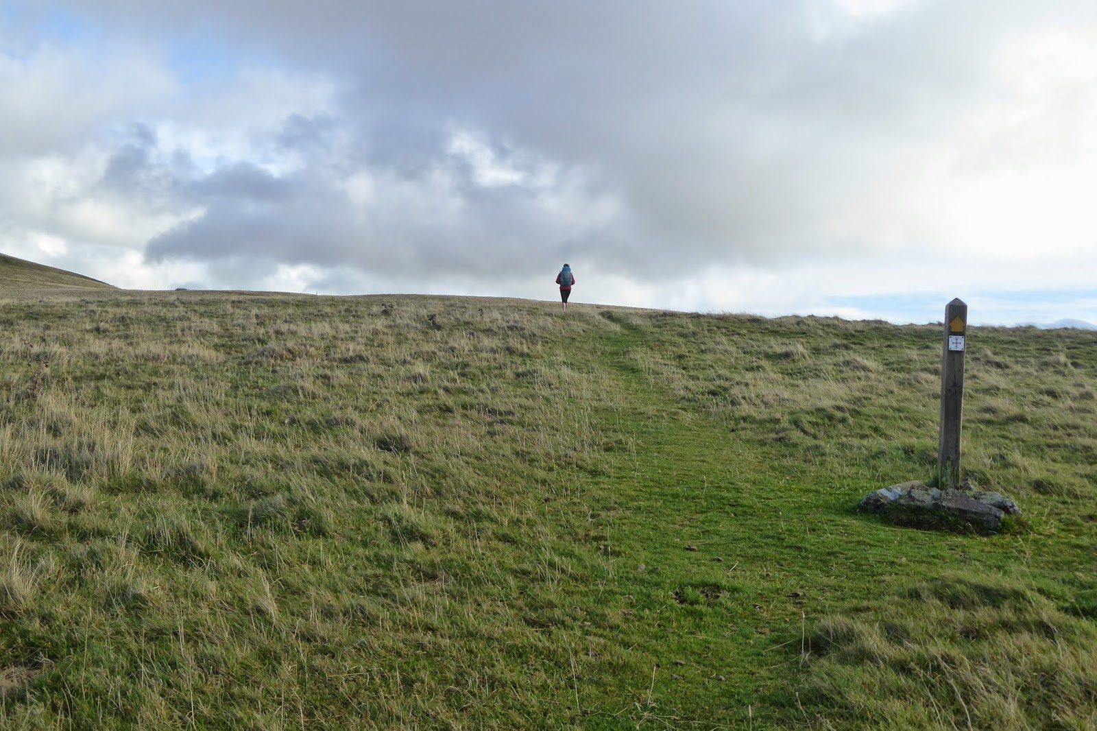
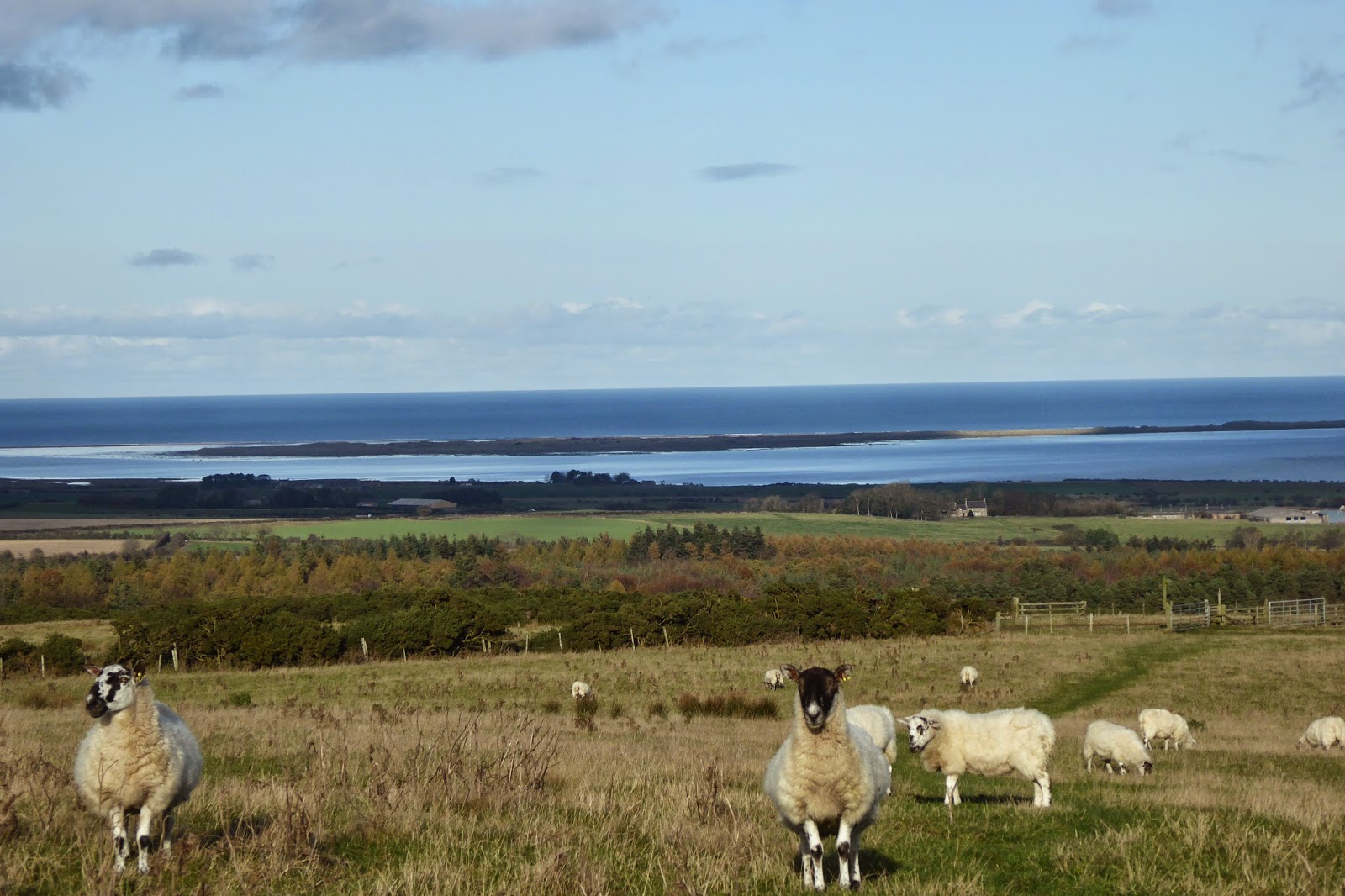
A circuitous route to Santiago de Compostela, Spain. Stage One beginning in Munich, Germany ending in Jerusalem - traveling through Austria, Italy, Albania, Macedonia, Greece, Turkey, Cyprus and Israel. Second stage from Vienna, through Germany, Czech Republic, Holland, Belgium, France and Spain.
Final destination - Santiago!

Post Script: The changeable situation in Jerusalem has led to a change in plans. The Rome to Jerusalem leg of this journey has been changed to the 'End to End' in the UK, after which the journey will resume as above in Vienna.

Thursday, 13 November 2014

St Oswald's Way, down the Northumbrian coast.

I have had issues over the past week with either poor WiFi or none, which is why you haven't heard from me.

Walking down St Oswald's Way has been a delight, even on the day when gale force winds and rain slowed my journey.  Let me go back to the beginning, which was leaving Lindisfarne.  I was lucky enough to cadge a lift for us back to the mainland, where Greta and I caught a bus back to the path where it separated from St Cuthbert's Way.  We weren't keen to repeat our experiences of trudging along the same path with its many bog patches!

We managed to avoid the heavy rain which had fallen overnight, but still had to battle into strong winds, which whipped the sea into a frenzy.  We stopped at the "renowned" Copper Kettle tearooms and treated ourselves to scones and cream.

Unfortunately, all the castles are closed for winter, and so although this way goes past a number, there has been no opportunity to visit them.  We had some lovely paths and stunning views as we walked though.

The Whin Sill is an outcrop of very hard igneous rock appearing throughout Northumberland and this is just one outcrop.
Greta, with Bamburgh Castle in the background.

Bamburgh has a castle (closed!), but it also has a story that captivated me at primary school, though I didn't realise it was the place till this journey.  What story you ask?  Bamburgh is the village where Grace Darling was born, and the off shore Farne Islands, in particular Longstone, was where she lived with her father, with whom she conducted the remarkable shipwreck rescue back in 1838 as a 23 year old woman.  I remember being enthralled by that story at school, though I suspect the younger generation reading this will not have heard of her.
The lighthouse on Longstone Island.
As the wind rose during the day the sea became increasingly ferocious.

Greta left this walk at Seahouses.  She was making her way to London to then go to Wales and do the "Welsh 3,000's" - climbing the Welsh Peaks over 3,000 metres in 24 hours!  I suspect that she will be a "Munro bagger" (the peaks in Scotland over 3,000 feet) in years to come.  It was great having her company, and the next few days seemed a bit odd as I got used to walking alone again.
At the seashore at Seahouses.
The bridge crossing Long Nanny Burn.
The 19th century fisherman's cottages at Low Newton by the Sea.

St Oswald's Way goes through what seems to be endless golf courses.  The Dunstanburgh Golf Club is a long narrow course, which took me over thirty minutes to negotiate.  It tickled me to seeat each course,  the warning signs of "beware of flying golf balls" - not sure how, as this course had players going in both directions.  How they managed to play in the fierce winds on this day is beyond me.  I said as much to one bloke suggesting that it must be difficult to hit the ball in a straight line and he responded with "they rarely do, Pet"!  I lost count of the golf courses I had to negotiate, but I think it was something like eight!
The backdrop for this golf course - the ruins of Dunstanburgh castle, and the Whin Sill cliffs on which it sits.
Looking back at the golfers, and the wilderness between the fairway and the green.
Just showing you what I look like dressed for the elements!  Behind, you get some idea of how ferocious the sea was this day.
Entering Craster.  Unfortunately there was no room at the Inn, and so I had to push on to Alnmouth.  Because of the long day I ended up walking the last four miles in the dark - I thought I would never get there!

Accommodation has been quite tricky of late, and I have resorted to staying in one place a couple of nights and catching a bus ahead (or back) and walking back to my accommodation.  Thus I stayed in Alnmouth 2 nights, catching a bus to Warkworth and walking back, having the luxury of being pack free for a day.
Warkworth Castle.
The village of Warkworth is situated on the Coquet River, and this bridge is a heritage listed one, only open to pedestrians these days.
Heading back towards the coast........
........ and the sea at high tide, captured in the afternoon sunlight.

Alnmouth, on the River Aln........
....... and the sea at the mouth, which, during a ferocious storm a couple of hundred years ago, breached the sandhills, and caused the river mouth to relocate.
I had to negotiate the affects of the tidal river to get back to Alnmouth.........
....... and saw a wonderful sunset as I headed back - yet again, in the dark.
After Warkworth the path headed off across the countryside, and has now left the coast, following the Coquet River for some of the way.
Some of the path is along grassy, wet, and often boggy ground.

I have met some wonderfully kind and generous people along the way.  I got caught on this day walking into Rothbury, facing having to walk across potentially boggy fields in the dark.  For safety's sake I decided to walk out to the road and walk along it, a safer option in the dark.  When I eventually got to the road I was faced with a sign saying "closed to all vehicles, cyclists, pedestrians".  Never having seen a road closed to pedestrians I decided it might be prudent to find out why, and so knocked on the door of the only house around.  How fortunate I did, as the road was impassable due to a landslide.  At 5.00 at night I was faced with a five mile (2 hour) walk one way or a ten mile walk the other.  Helen, who answered the door, generously offered to drive me to Rothbury, an offer I gratefully accepted. 
Leaving the beautiful village of Rothbury.
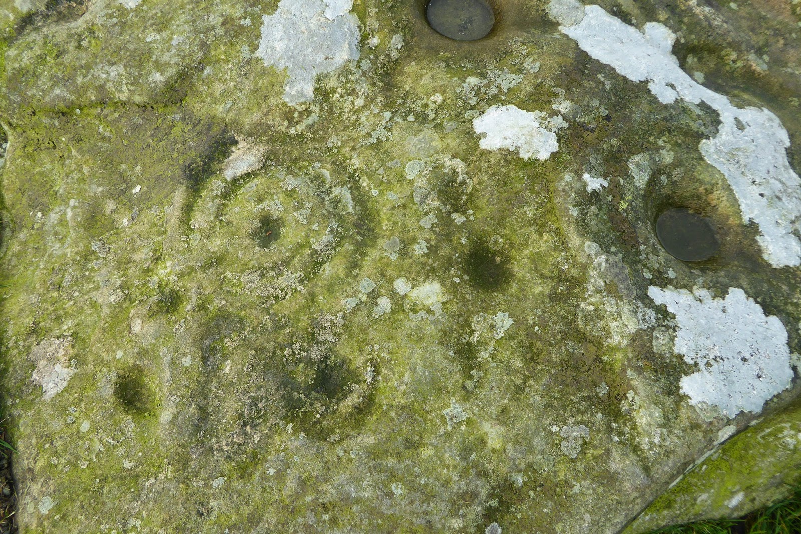
Heading over the moors again I came across this historic monument - a cup and ring stone.
The moors on this day seemed to have people everywhere.  These people in the distance were headed up the Brecon Hill.
Much bog to negotiate this day.......
..... and narrow paths.

After negotiating these paths I came across Anne and David who were out walking their dog.  After discussion with them, and because darkness was approaching fast, I accepted their generous offer of a lift down to my hotel.  The path was to continue through the fields, and whilst walking on farm tracks or quiet roads is okay in the dark, I think it is too risky to walk on the field paths in the dark.  Bog is one of the reasons, but also there is no way of knowing what animals are in the field and the reactipn to a stranger walking past in the darkness.

The last day of St Oswald's Way proved to be quite chilly - and foggy.  Thankfully though I had very little bog to negotiate, which made life considerably easier, and the pace quite a lot faster.
 Crossing the fells in the fog.
 Although lighter, the fog stayed all day.
 Looking back at the hamlet of Hallington.
The fog made for an interesting sky long before sunset, and it brought a lot lower temperatures.

I have loved walking St Oswald's Way.  A rest and research day / s in preparation for the second part of the total journey in Newcastle is planned, and next post I should be able to tell you where to next!  Thus far I have completed just over 900 kms.


Tuesday, 4 November 2014

Lindisfarne, or Holy Island, and walking the poles.

We stayed in a great little pub in West Mains before crossing to Holy Island.  The special package was for dinner, bed, and breakfast.  For a change we had a two course dinner, a nice treat and celebration for Greta's birthday.  The problem was we couldn't partake of the breakfast because of the tides!  Instead we were given a scrumptious packed lunch which we we ate, as our breakfast, after arriving on the island.

Pilgrims "walking the poles" are advised to travel in the middle of the low tide, but that would have meant we would have to leave at 5.00am and cross in the dark, not safe, and not much point as we wouldn't see anything.  Instead, we compromised and departed our hotel at 6.15am, in the dark, but arriving on the sands at 7.00 am for the crossing just as it was getting light.

This has to be one of the highlights of my trip thus far, bog in the middle of the crossing included!  Walking in the dawn light in still air, watching the sun come up and listening to the hundreds of birds waking was truly a wondrous experience! We even heard the cooing sounds of  dozens of seals resting on a sand bank.  Because we were walking at the end of the advised time we couldn't dilly dally too much but there was still time to pause and to look, listen, and to take photos, and I will let them tell the tale.
 The start of our journey across the sands
 Greta takes the lead not only at the start, but for most of the 4 -5 kilometres across the sands.


 We were thinking that we would "walk the poles" barefoot, partly to protect our footwear, but at five degrees we decided we would let our footwear protect our feet.  I had short gaiters on and even when I sank to the top of them in a patch of bog my feet remained dry.
 As the sun rose the scenery across the sands was very special

There are two of these refuges along the sands for pilgrims who get caught by the tide.  There is only one for drivers along the causeway - people are rescued, but not cars!  Over the past ten years around 60 people have had to be rescued - most of them in cars, only a few walkers - shows they must have caution on their side!
The geese took off in noisy, large flocks above our heads.
We came to the waters edge at 8.00am, and looking back, the poles stretched endlessly.
At noon, returning to the same spot the scene had changed, and the weather was changing!


On the Island there is a delightful small village with the ruins of  the Priory on its outer edge.  There is also a castle, and much wildlife.  We walked just over eight kilometres to get there and a further ten exploring the island.
 The priory, with the castle in the distance.
The castle ( above), which looks down on the walled garden (below) designed by Gertrude Jekyll in the early 1900's.

And some of the beautiful coastline around the island.

St Cuthert's Way

Since last writing I have wandered down from Edinburgh to a little place called Galashiels and from there picked up a path to Melrose, the start of St Cuthbert's Way.  I left Edinburgh in the pouring rain, but arrived in Dalkeith with dry feet, thanks to my new boots.

Along the way I was impressed to see a new rail line being built, or rather an old one being reinstated.  Apparently houses have been compulsorily purchased, demolished, and been replaced by train tracks.  This is a huge project and for a few miles I resorted to catching the bus past all the works.  Some of the road I was to take, and bridges I planned to cross, were blocked with the roadworks, and so I decided this was the best option.

St Cuthbert's Way begins at a pretty village called Melrose, in a region of Scotland called the Borders.  It heads East through Northumberland through a variety of terrain, farm land, rolling hills, liberally interspersed with forests and moorland.  It goes along quiet country roads, farm tracks, interspersed with narrow, muddy animal tracks.  It crosses into England on a hill after a little village called Kirk Yetholm, for a while sharing the way with another great long distance path, the Pennine Way.  It's eventual destination is Holy Island, the island of Lindisfarne, where St Cuthbert led his monks.  He is the man credited with bringing Christianity to England.

 The cloisters at Melrose Abbey, the place where St Cuthbert began his life as a monk.
 The ruins of Melrose Abbey.
Leaving Melrose on a misty afternoon.
 In the grounds of Drybugh Abbey these little fellows scurried hither and thither.
 Another abbey, in ruins, this one is Drybugh Abbey.
 Leaving Drybugh - some fungi on a tree stump.
After leaving Drybugh the path follows the Tweed River.  On the opposite bank is a golf course and I wonder how many balls end up in the river.
Looking across at the Eildon Hills, on the other side of which is Melrose, and over which I climbed the day before.
At this site the monks from Melrose Abbey tried hard, aver many years, to broker peace between the English and the Sots.  It was the site too of some fierce battles.
The South Aussies reading this will appreciate this photo.  I am standing in a Victorian walled garden called Woodside.  It has a wonderful tea rooms and the man who took this photo said that he and his wife come here each year, just to sample their cakes!
The suspension bridge crossing the Teviot River.

In Jedburgh I met up with my niece, Greta.  She has been walking with me since then and I have been really enjoying her company.  Her very special expertise is orienteering and so she has taken the map and I have just followed along.  Not having to be solely responsible for navigation is a real treat, especially as happened on her first day, when we found ourselves still on the hill in the dark!  I was worried that I would not be able to keep up with her, but she patiently waits for me at the top of the hills!  
The ruins of Jedburgh Abbey
Greta and I leaving Jedburgh.
Just some of the forests on the Way........

..........and some of the moorland it passes over.
On top of Wideopen Hill (above and below), the highest point on this path, and the hill that we descended in the dark!

Walking towards the border of England and Scotland (below)
I'm in England, Greta's in Scotland.
One of the many gates along the path.
Some of the heather covered moorland on the path.
The village of Wooler (above and below)

St Cuthbert's cave.  After he died his monks tried to take his body to Ireland, but when the sky rained blood they took that as a message to leave his body in England.  It is thought that St Cuthbert himself used this cave as a place of prayer, and monks moving his body stopped here with it on the way to its ultimate burial (120 years later!) in Durham Cathedral.
Our first view of  Holy Island, Lindisfarne.

This path hasn't ended, with the most exciting part to come, but more of that in the next post.