Along the way I was impressed to see a new rail line being built, or rather an old one being reinstated. Apparently houses have been compulsorily purchased, demolished, and been replaced by train tracks. This is a huge project and for a few miles I resorted to catching the bus past all the works. Some of the road I was to take, and bridges I planned to cross, were blocked with the roadworks, and so I decided this was the best option.
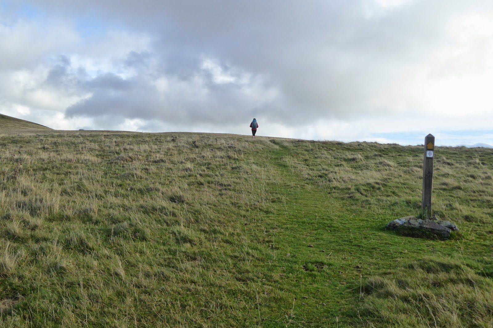
St Cuthbert's Way begins at a pretty village called Melrose, in a region of Scotland called the Borders. It heads East through Northumberland through a variety of terrain, farm land, rolling hills, liberally interspersed with forests and moorland. It goes along quiet country roads, farm tracks, interspersed with narrow, muddy animal tracks. It crosses into England on a hill after a little village called Kirk Yetholm, for a while sharing the way with another great long distance path, the Pennine Way. It's eventual destination is Holy Island, the island of Lindisfarne, where St Cuthbert led his monks. He is the man credited with bringing Christianity to England.
The cloisters at Melrose Abbey, the place where St Cuthbert began his life as a monk.
The ruins of Melrose Abbey.
Leaving Melrose on a misty afternoon.
In the grounds of Drybugh Abbey these little fellows scurried hither and thither.
Another abbey, in ruins, this one is Drybugh Abbey.
Leaving Drybugh - some fungi on a tree stump.
After leaving Drybugh the path follows the Tweed River. On the opposite bank is a golf course and I wonder how many balls end up in the river.
Looking across at the Eildon Hills, on the other side of which is Melrose, and over which I climbed the day before.
At this site the monks from Melrose Abbey tried hard, aver many years, to broker peace between the English and the Sots. It was the site too of some fierce battles.
The South Aussies reading this will appreciate this photo. I am standing in a Victorian walled garden called Woodside. It has a wonderful tea rooms and the man who took this photo said that he and his wife come here each year, just to sample their cakes!
The suspension bridge crossing the Teviot River.
In Jedburgh I met up with my niece, Greta. She has been walking with me since then and I have been really enjoying her company. Her very special expertise is orienteering and so she has taken the map and I have just followed along. Not having to be solely responsible for navigation is a real treat, especially as happened on her first day, when we found ourselves still on the hill in the dark! I was worried that I would not be able to keep up with her, but she patiently waits for me at the top of the hills!
The ruins of Jedburgh Abbey
Greta and I leaving Jedburgh.
Just some of the forests on the Way........
..........and some of the moorland it passes over.
On top of Wideopen Hill (above and below), the highest point on this path, and the hill that we descended in the dark!
Walking towards the border of England and Scotland (below)
I'm in England, Greta's in Scotland.
One of the many gates along the path.
Some of the heather covered moorland on the path.
The village of Wooler (above and below)
St Cuthbert's cave. After he died his monks tried to take his body to Ireland, but when the sky rained blood they took that as a message to leave his body in England. It is thought that St Cuthbert himself used this cave as a place of prayer, and monks moving his body stopped here with it on the way to its ultimate burial (120 years later!) in Durham Cathedral.
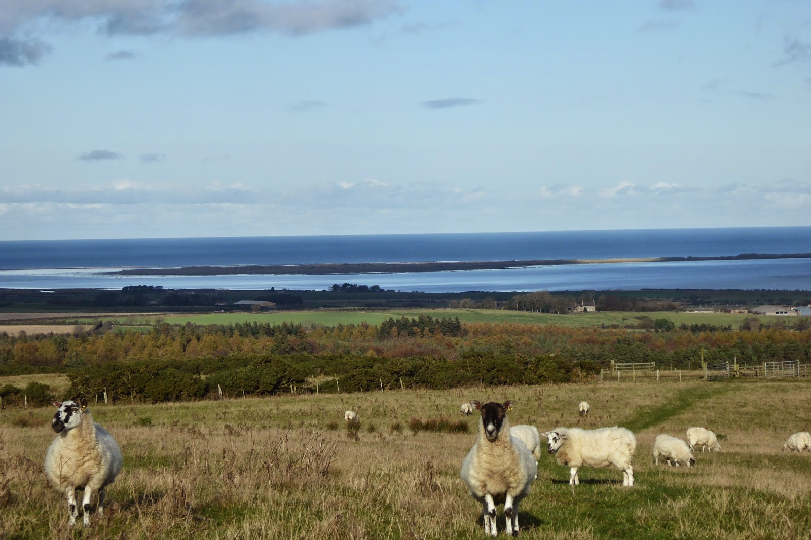
Our first view of Holy Island, Lindisfarne.
This path hasn't ended, with the most exciting part to come, but more of that in the next post.


It's now 2020 and this was an entertaining tour. Thanks, Janet.
ReplyDelete